
BEST MOUNTAIN BIKE TRAILS IN THE WORLD!
Posted by FAT CHANCE BIKES on Jun 2nd 2017
BEST MOUNTAIN BIKE TRAILS IN THE WORLD!
FAT Fans share their top mountain bike trails.
FAT FANS SHARE THEIR TOP MOUNTAIN BIKE TRAILS.
From California to Utah to the UK to Colorado and more.. check out the list of FAT fan's favorite places to ride, and let us know in the comments below if we need to add your top trail to the list!
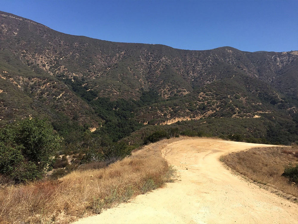
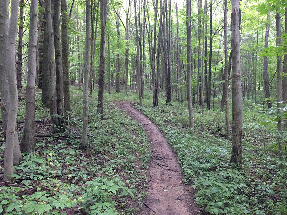
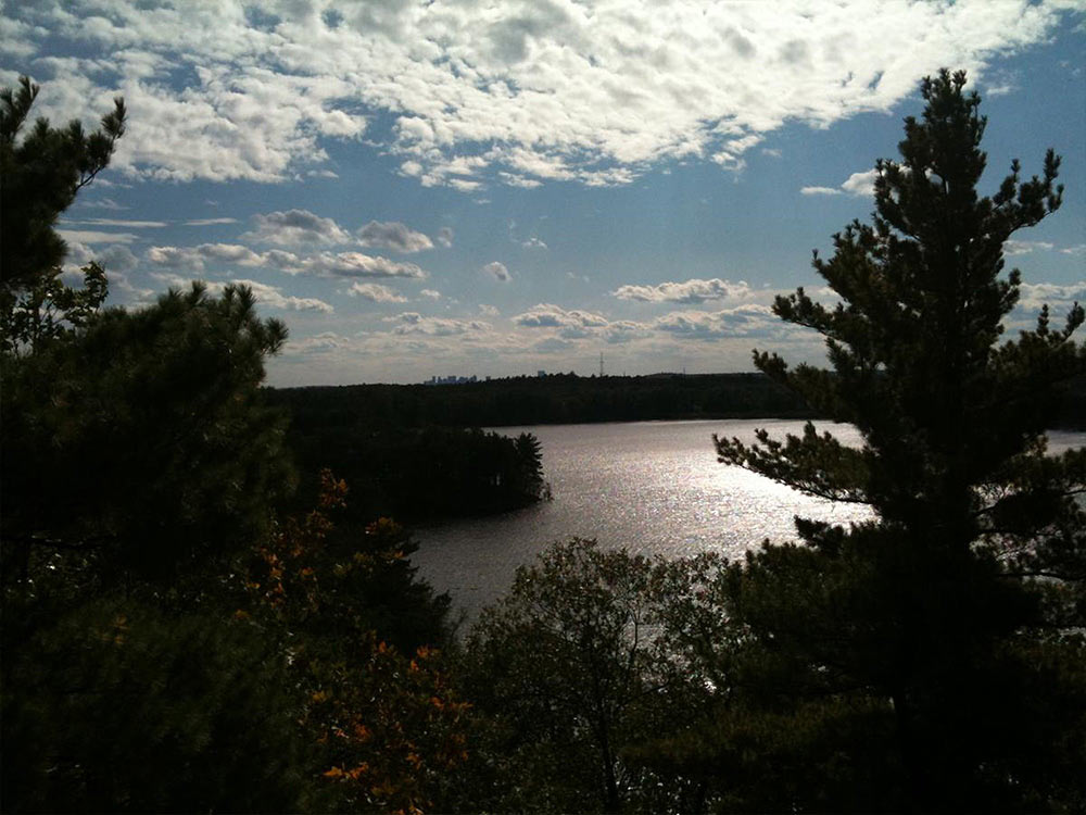
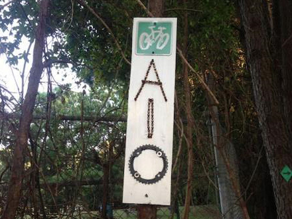
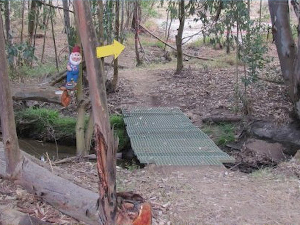
MARSHALL CANYON TRAIL
Marshall Canyon Trail is a 10.4 mile moderately trafficked loop trail located near Claremont, California that features a river and is good for all skill levels. The trail offers a number of activity options and is accessible year-round. Dogs are also able to use this trail but must be kept on leash.
Source: https://www.alltrails.com/trail/us/california/mar...
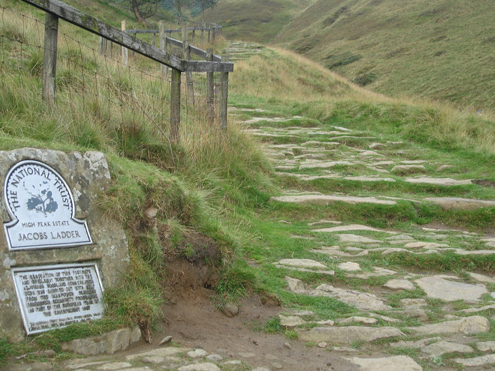
JACOBS LADDER
This is a mountain bike route of 17.5 miles starts from Hayfield. It is the classic Dark Peak route that takes in the Jacob's Ladder, Rushup Edge and Roych Clough descents. The main climbs are directly to the back of Jacob's Ladder from Hayfield and up to Rushup Edge via Hollins Cross and Mam Tor. Although not exceptionally long the rocky terrain, combined with difficult climbs and steep technical descents, makes this route a tough one.
Source: http://flattyres-mtb.co.uk/route-guides/peak-dist...
HERMOSA CREEK TRAIL
The trail starts at the West side of the parking area and follows great singletrack for the first several miles. As the trail curves South it enters a steep canyon and follows the river as it drops towards the town of Hermosa. There are several trails that cross this area, about 6 miles in you'll cross the Salt Creek trail, this has been well labeled in the past. There are some (3) river crossing, most have footbridges, and several small drainages. Hermosa Creek Trail drops about 1,500 feet total with 2 longer climbs occuring towards the end of the ride. This trail is a Point to Point with several options for leaving cars at the trails end. Usually the town of Hermosa is a good place, and you pass it on the way to the trailhead.
Source: https://www.singletracks.com/bike-trails/hermosa-...
ROCKY POINT
One way trail of challenging single track. Several uphill climbs and lots of turns. The main loop is about 13 miles. There is an optional Westside loop that will add 4 miles. Follow the yellow trail markers. There a few black diamond loops in the northwest section of the park. You need a Department of Conservation Permit to ride here. It's easily acquired for free. Look on www.climbonline.org
Source: https://www.singletracks.com/bike-trails/rocky-po...
MOHICAN STATE PARK MTB TRAIL
Ohio's longest singletrack, Mohican State Park's MTB trail, is located just outside Loudonville OH. From the MYB trailhead parking lot it's approximately 25 1/2 miles total, with all but about a mile of riding being sweet flowing singletrack.
The first few miles are burners - you'll spend most all of it climbing. Thats not to say that once you get to the top of that first few miles its all smooth sailing downhill - oh no, you get your downhill break, but you earn it with the climb right back up afterwards. Along the way you'll encounter the occasional technical spot like logovers and bridges, but for the most part, until you pass the 20 mile mark the vast majority of the trail is either flowing singletrack or climbing. From 20 miles on, you'll encounter rock gardens and flowy pumptrack-like stretches of trail. None of which is impassable by a beginner, but you shouldn't be seeing beginners this far in.
The first 8 miles are multidirectional but from that point on it's one-way (counter-clockwise) traffic. Hikers may be on the trail so keep your eyes open; there are wilderness campsites located throughout the park that are nearby to the trail.
Source: https://www.mtbproject.com/trail/960984/mohican-s...
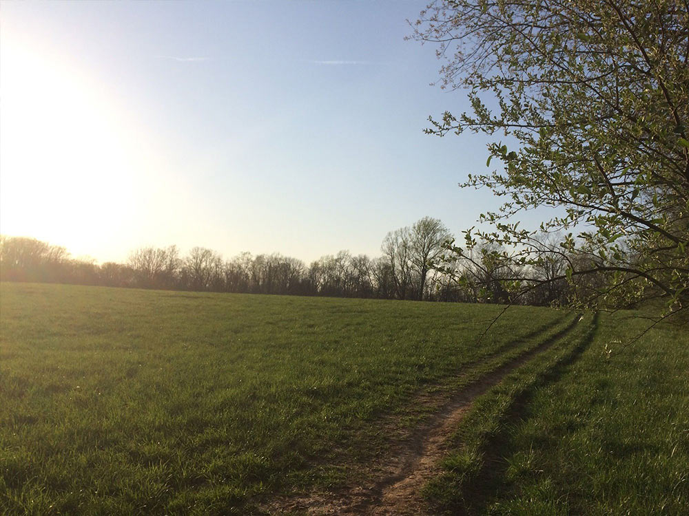
FAIR HILL ORANGE TRAIL
Fair Hill Orange Trail is a 5.8 mile loop trail located near Elkton, Maryland that features a river and is rated as moderate. The trail offers a number of activity options and is best used from March until November. Dogs are also able to use this trail but must be kept on leash.
Source: https://www.alltrails.com/trail/us/maryland/fair-...
Tsali features four singletrack loops that hug the banks of Fontana Lake. The trails are super fast and flowy singletrack with mostly moderate climbs and amazing scenery.
Daily usage alternates between horses and bikes so you don't have to worry about running into spooked riders (check local park maps and signage). The trailhead features a bike wash station and there's also a nice campground with showers and flush toilets. Tsali is an IMBA Epic and with good reason!
Source: https://www.singletracks.com/bike-trails/tsali-mo...
TSALI MOUSE BRANCH LOOP
Tsali features four singletrack loops that hug the banks of Fontana Lake. The trails are super fast and flowy singletrack with mostly moderate climbs and amazing scenery.
Daily usage alternates between horses and bikes so you don't have to worry about running into spooked riders (check local park maps and signage). The trailhead features a bike wash station and there's also a nice campground with showers and flush toilets. Tsali is an IMBA Epic and with good reason!
Source: https://www.singletracks.com/bike-trails/tsali-mouse-branch-loop.html
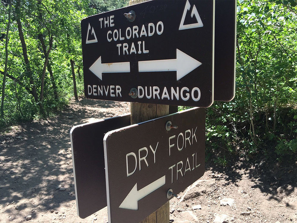
DRY FORK TRAIL
Dry Fork Loop is a 8.7 mile loop trail located near Durango, Colorado that features beautiful wild flowers. The trail is rated as difficult and primarily used for hiking, trail running, and mountain biking.
SOURCE: https://www.alltrails.com/trail/us/colorado/dry-f...
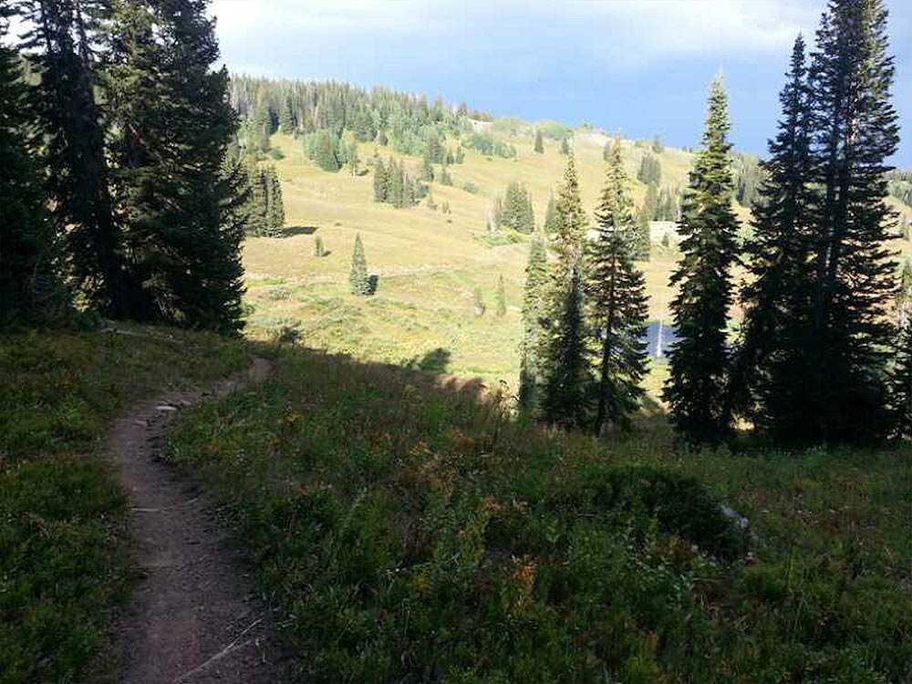
SAN JUAN TRAIL, NAVAJO LAKE LOOP
The Navajo Lake Loop Trail is an intermediate technical and aerobic singletrack loop running around Navajo Lake near Brian Head. The trailhead starts at 9200' of altitude and climbs only to 9400'
The trail base is mostly packed dirt, a 1/4 mile section at the east end of the lake takes you through a lava field with crushed cinder on the trail. There is a very short challenging climb midway through the lava.
Most consider Navajo best to be ridden CCW which makes most of the climbing in the first mile and a half. You can view the lake from the entire length of the trail.
While most of the climbing comes fairly early, there are still many small climbs along the way as you enjoy rolling through the many Pines and Aspens. Stop midway to grab a snack and just lay back and breath in the natural beauty.
Source: https://www.mtbproject.com/trail/1872459
DANIEL BOONE FOREST, KENTUCKY
The Lake Trail begins at a small parking area at the junction of KY HWY 192 and KY HWY 1193. The route is known as a great “beginner’s” trail. Much of the Lake Trail runs along Laurel River Lake. Laurel River Lake is a combination flood control, hydroelectricity generation and recreation lake. The lake was built by the US Corps of Engineers and is managed jointly by the Corps of Engineers and the US Forest Service. All of the Lake Trail is within the Daniel Boone National Forest. Part of the trail is adjacent to the Holly Bay Campground and Holly Bay Marina. The Lake Trail is a out-and-back trail that is 5.4 miles in each direction.
A great selection of other trails awaits mountain bikers who seek recreational challenge across rugged terrain in the Daniel Boone National Forest. Since most of the Daniel Boone National Forest trails were constructed primarily for hiking, most are narrow and sometimes steep. You should expect to carry or walk your bike along some sections of trail.
Many national forest trails are “multiple-use.” Mountain bikers often share the trail with hikers, horseback riders and off-highway vehicle enthusiasts. Please remember to Share The Trail.
Avoid riding trails during wet weather. This can damage trails by rutting the tread and eroding the soil.
Source: http://londonkycycling.com/lake-trail/#!prettyPho...
Photo Credit: https://www.flickr.com/photos/uloo/4992652114
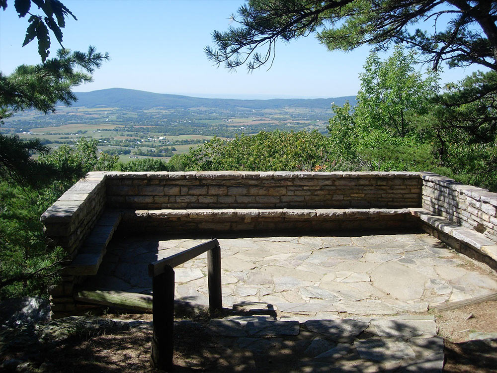
GAMBRILL STATE PARK
All trails begin at the Trailhead Parking Lot on the east side of Gambrill Park Road (about half-way up the mountain between the Rock Run area and the High Knob area, on the right side of the road). All trails are day use only and there is no overnight parking. Park hours are 8 a.m. to sunset, April to October, and 10 a.m. to sunset, November to March. All Maryland State Forests and Parks are trash free. Please carry out what you carry in.
All trails, except the Catoctin Trail, are loop trails, and return to the Trailhead Lot. All trails, except the White Oak Trail, are open for hiking, mountain biking, and horseback riding. Please respect other trail users.
Source: https://www.singletracks.com/bike-trails/gambrill...
Photo Credit: https://www.visitfrederick.org/listing/gambrill-s...
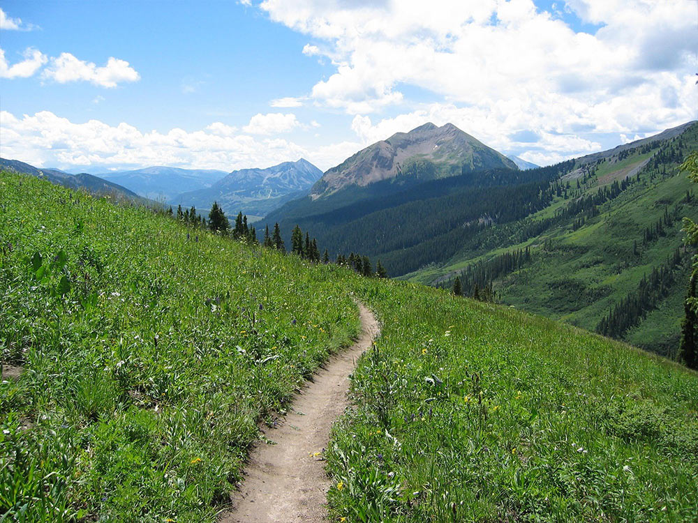
TRAIL 401
This is the BEST trail in Colorado! Start the long climb up on Gothic Rd for ~4.5 miles towards Schofield Pass. Turn right onto trail 401 to climb a little bit more on singletrack. At the top there are spectacular views, to the east you can see the Maroon Bells. From here, the scenery can't be beat... start the narrow singletrack downhill through fields of wildflowers and aspen groves. There are about two more steady climbs after the long downhill back to your car, take your time and enjoy the views!
Source: https://www.singletracks.com/bike-trails/trail-40...
LYNN WOODS RESERVATION
There's enough riding here to last a lifetime. The entire reservation is surrounded by gravel fire roads and is interconnected all the way through with literally a hundred or more single track routes. Each route has its own number (make sure to check out and take a map at the beginning so you don't get lost, which is easy!) and vary from muddy swamp rides to boulder-infested hill climbs to crazy paths filled with logs, rocks, hills, trees, large animals, and more! If you follow the signs to Dungeon Road leading to Dungeon Rock, you'll also be treated to some awesome hiking, which is a nice way to take a break. Strongly recommended! This place has everything.
Source: https://www.singletracks.com/bike-trails/lynn-woo...
WOMPATUCK
Wompatuck State Park in Hingham Massachusetts offers an extremely varied riding experience to area mountain bikers.Wompatuck is bisected by Union Street. In the past most of the off road bicycling was done on the right side of Union Street where the majority of the park's unbroken woodland exists. But, over the years the park's staff, aided by NEMBA and area mountain bikers, has been hard at work creating an entirely new network of singletrack trails on the left side of the park in some areas recently reacquired by the State.
`Wompy' as the locals refer to it, is a great place to ride. It contains the greatest number and variety of singletracks in the close-to-Boston-south area.
Some of the singletracks, especially the newer ones, are fast and swoopy. While some of the others remind one of long distance trials sections. The latter are constantly busy as you never seem to go in a straight line for more than 50 feet or so, and never seem to stop hopping logs, dodging trees or riding over rocks.
Source: http://www.nemba.org/trails/massachusetts/wompatu...
KEYSTONE BIKE PARK
Get ready for exciting mountain biking action at the Keystone Bike Park. With rock gardens, drops and high-speed features there’s never a dull moment on your bike. From greens to blues to blacks, there is something for riders of all mountain biking abilities. There are also more than 100 miles of single track for touring. Or, for a more relaxing afternoon, take a cruiser ride or road bike along miles of paved bike path.
Source: http://www.keystoneresort.com/activities/mountain...
Photo Credit: http://v3.kidinthecorner.com/archives/95

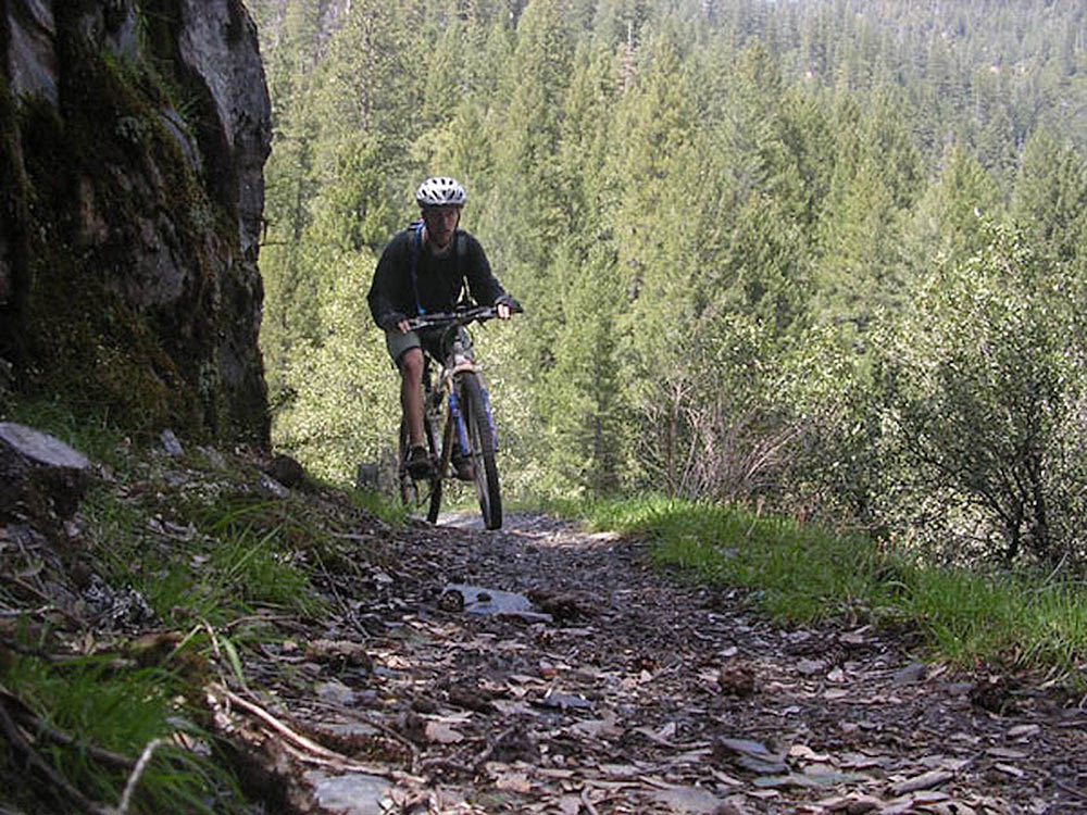
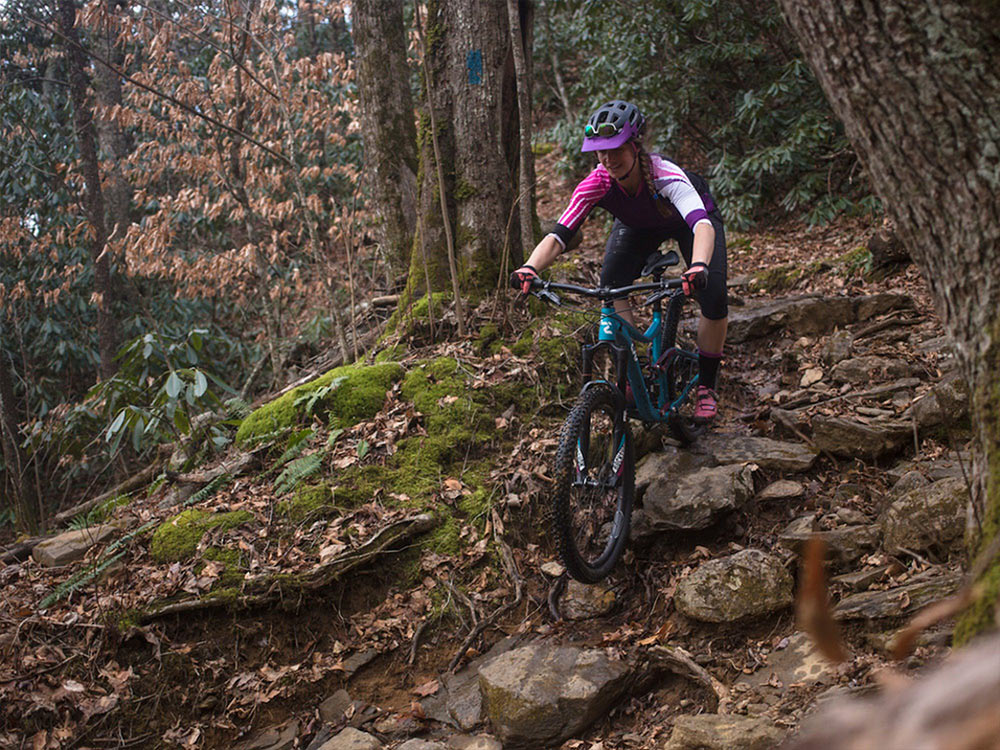
BULLWINKLE, COPPER HARBOR MI.
One of the most exciting cross country trails in Michigan. Lots of climbing leading up to the extreme downhill sections. Be sure to visit "Paul's Plunge" if your looking for an intense experience. For a really good time, race the Fat Tire Festival on Labor Day weekend.
Source: http://trails.mtbr.com/cat/united-states-trails/t...
Photo Credit: https://www.mtbproject.com/photo/7008765

PINNELL MOUNTAIN TRAIL
Pinnell Mountain Trail is a 22.3 mile moderately trafficked point-to-point trail located near Central, Alaska that features a great forest setting and is rated as moderate. The trail offers a number of activity options and is best used from March until October.
Source: https://www.alltrails.com/trail/us/alaska/pinnell...
THE WHOLE ENCHILADA
This trail encompasses several trails including Burro Pass, Hazard County, and Porcupine Rim. You start out at 10000ft, and climb about another 1400 to Burro Pass, then the downhill insanity starts. Thru wooded forests, Aspen Pine lands, creeks, then down open prairie land and thru miles of technical really fast, crazy steep and slippery single track until you get to the Upper and lower Porcupine sections, then you finally end up at the Colorado River.
Source: https://www.singletracks.com/bike-trails/the-whol...

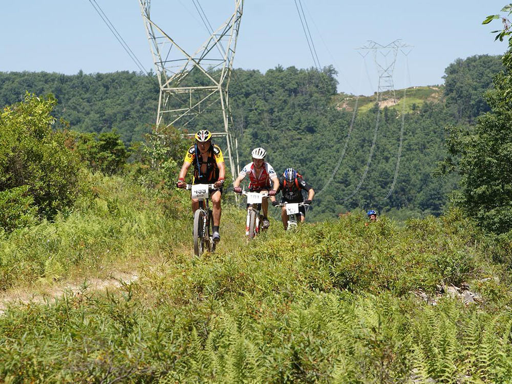
CHEQUAMEGON-NICOLET NATIONAL FOREST, WISCONSIN
Highlighted by its unique forest landscapes and abundant wetlands, the Chequamegon National Forest is a hiker's paradise. There are approximately 200 miles of trails developed for non-motorized use within the Forest. Two of these traits have national significance. The North Country National Scenic Trail reaches from eastern New York to central North Dakota. A 60-mile section crosses through the Chequamegon. The eastern portion of this trail is highlighted by the scenic beauty of the Penokee Mt. Range. On the western segment, visitors discover the peaceful solitude of the Porcupine Lake and Rainbow Lake Wilderness. The Ice Age National Scenic Trail stretches across Wisconsin with a 40-mile section passing through the Chequamegon. This trail follows the edge of the most recent glacial advance accented with scenic views of glacial wetlands.
Source: http://www.cambatrails.org/page/show/501964-chequ...
Photo Source: http://bit.ly/2qCXS3f
A-10
The City of Myrtle Beach gave the Waccamaw Trail Blazers the opportunity to build a single track mountain bike trail in the heart of the Grand Strand. Located in the Market Commons area of Myrtle Beach right next to the Barc Park, the A-10 mountain biking trail is a constant work in progress. Named for the A-10 Bomber, the mountain bike trail holds many of the same characteristics that were synonymous with the rugged, but highly maneuverable aircraft. The bomber, affectionately known as the "Warthog", was ideally suited for close combat operations. This runs parallel with what riders should expect from the trail. Because of the amount of work it took to cut trails and the way the trail winds through the forest the name seems to fit nicely.
Source: https://www.singletracks.com/bike-trails/a-10-myr...
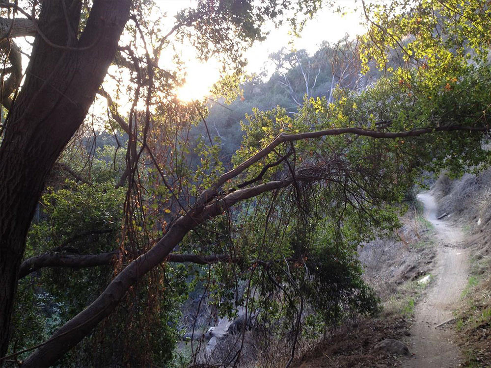
EL PRIETO!
El Prieto is a unique singletrack experience in Southern California. Extreme exposure, 180-degree switchbacks, stream crossings, and rock gardens all within an oak-lined canyon. This is classic mountain biking with a challenge for everyone.
Beginning riders may choose to walk some technical sections but the trail is rideable from beginning to end by experienced riders. Beware of poison oak along this trail as its present all year.
El Prieto is usually accessed by climbing up Brown Mountain to the first saddle and then descending the Fern Truck Trail to the upper El Prieto entrance. As you ascend Brown, you'll see the downhill exit of El Prieto at the log. Do be aware that plenty of hikers visit El Prieto and using a bell is highly advised, especially on weekends.
Source: https://www.mtbproject.com/trail/916170/el-prieto...
Photo: https://www.singletracks.com/photo.php?p=67477
DOWNIEVILLE MOUNTAIN BIKE TRAIL
Downieville, a tiny town tucked into a remote region of the Gold Country, is an unlikely mountain biking mecca. However, thanks to the wide range of single-track trails in the surrounding forest and the shuttle services run by local bike shops, the region is a magnet for riders looking for a thrilling downhill experience.
Many find it on the famous Downieville Downhill, a 15- mile, mostly downhill single-track ride that drops 4,000 feet in elevation. Unless you're super-human, this ride requires a shuttle to the trailhead. Fortunately, a few local shops, including Yuba Expeditions and Downieville Outfitters, provide shuttle service for a reasonable price. A wealth of additional trails in this part of the Tahoe National Forest make for exceptional loops as well as shuttle rides for those who want to explore trails less traveled.
The riding around Downieville is definitely geared toward strong intermediate and advanced riders who are confident of their technical skills. Please note that the heavily used Butcher Ranch Trail, one option for the Downieville Downhill, is heavily used and has suffered significant erosion. Please ride with care and avoid skidding. Better yet, use the Pauley Creek Trail, an equally fun option.
See more at: http://www.bikemapdude.com/downieville.html#sthas...
Source: http://www.bikemapdude.com/downieville.html
ICEBOX CANYON
From Wheeler Canyon trail (starting at Pineview Dam), continue south approximately one mile to a wooden sign. Icebox Canyon descends sharply right to the watercourse, crossing a wooden bridge. From Wheeler Creek Trail (Snowbasin Lot 2), continue east just past the junction with Middle Fork. The Icebox Canyon turnoff is a couple hundred feet past this, and is marked with wooden signage. This is a fun shortcut - it has rock gardens, tree obstacles, decent exposure, some tight hairpins, and some extremely steep sections - all following a densely forested watercourse. It's only a mile, but it's a fun mile.
Source: https://www.mtbproject.com/trail/570524/icebox-ca...
WYOMING TRAIL #1101
The Continental Divide Trail, also known as Wyoming Trail and Trail #1101 in this area, runs for 15 miles one-way from Dumont Lake (near the Rabbit Ears and Hwy 40) to Buffalo Pass.
Starting off as a doubletrack, the tread quickly narrows into singletrack. This section of the CDT passes through numerous high-alpine meadows, bursting with wildflowers of all colors of the rainbow. Every mile or so (it seems) the trail passes a high alpine lake, natural, clear, and isolated from civilization.
The trail tread itself is good dirt, and is filled with plenty of rocks-some sections of which are downright difficult. There are a few short climbs and descents, but for the most part this section of the CDT runs along the divide and doesn't gain or lose significant elevation. Still, despite the overall lack of climbs, the high elevation and multitude of rocks make this a strenuous climb.
Source: https://www.singletracks.com/bike-trails/buffalo-...
Source: https://www.singletracks.com/photo.php?p=61564
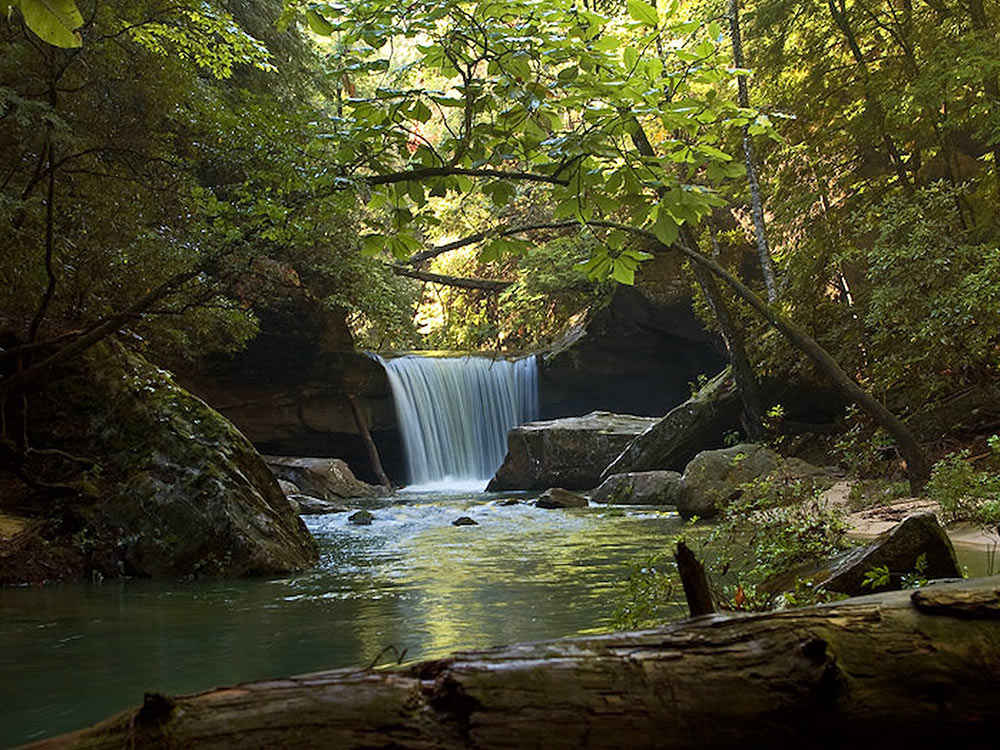
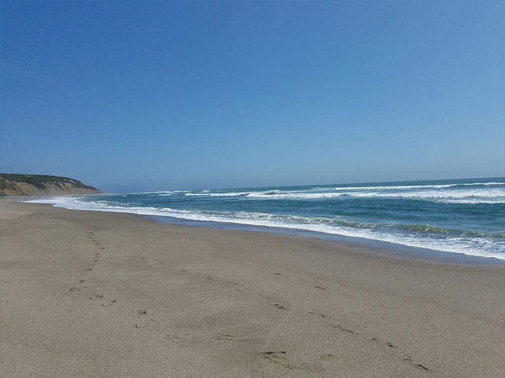
SKYLINE-TO-THE-SEA TRAIL
Skyline-to-the-Sea Trail is a 25.2 mile moderately trafficked point-to-point trail located near Los Gatos, California that features a waterfall and is only recommended for very experienced adventurers. The trail offers a number of activity options and is accessible year-round.
Source: https://www.alltrails.com/trail/us/california/sky...
ROCKVILLE PARK
Rockville Hills Regional Park might qualify as one of the well-kept secrets of mountain biking around the Bay Area. It's not a large park, but it features more singletrack trails than it does fire roads, and enough of them to give you a full day's worth of riding as long as you're willing to keep weaving back and forth in the park. Moreover, many of these are technical enough to satisfy even the most advanced riders. It's not for nothing that the place is named "Rockville". There aren't any extended climbs, but there are plenty of short ones, so you can still feel spent at the end of your ride.
Source: http://bayarearides.com/rides/rockville2/
Photo Source: https://www.outdoorproject.com/adventures/califor...
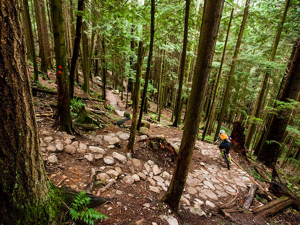
MT. FROMME: 7TH SECRET TO EXPRESSO
Start by pedailing up Mountain Highway, a monotonous road climb that's a necessary evil if you want to get to the goods! Take this time to chat with your riding buddies and enjoy the scenery - this is certainly not the most exciting part of the ride!
After seemingly endless pedal strokes on an unchanging road, get excited as you round the sixth switchback. Just a little further up, you'll come to the entrance for Seventh Secret on your right. Pad up, set your rig to full-squish and get ready to let'r'rip!
Source: https://www.mtbproject.com/trail/7002585/mt-fromm...
MODDERFONTAIN RESERVE SOUTH AFRICA
There are various loops catering for all different skill levels, and can be tailor made to be as short or long as the rider/runner prefers. Predominantly single track, with jeep track sections interspersed, the trail begins at our registration area, the Modderfontein Sports Club, where the rider will follow the freshly cut single track, to the security gate. From here onwards the rider must choose the distance and relevant loop. Follow the arrows to be taken on a rollercoaster ride throught the forests and circumnvaigate the six dams on the property. While they say Joburg is flat, on the longest loop a rider will climb approximately 480m.
The Green Route runs along scenic farm roads with an African bush feel, while the Yellow Route will get you onto some great single-track sections through the trees, with a gentle climb up and around to View Point. Finally, the Red Route is for the more advanced rider, and will test your skills. You get to blast through dense forests, up a steep ascent, onto a super-tube of a downhill. Plus there is some technical playtime around the dam, with bridges and another 2km of single-track through tall reeds.
Source: http://www.mtbroutes.co.za/central-park-mtb-trail...
FARLOW GAP TRAIL
This is an extremely difficult trail and only expert riders should attempt. That being said, if you've got the skill and stamina, you're looking at a really rewarding mountain bike ride.
Source: https://rootsrated.com/brevard-nc/mountain-biking...
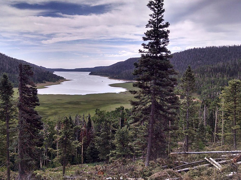
SOUTH BOUNDARY (164)
This trail is considered by many to be the premier cross-country ride in New Mexico, and for good reason, it offers 22 miles of sweet downhill singletrack cruising thru deep and dark evergreen forest, aspen glades, meadows; providing great views and some technical challenges at the end to give you a dose of adrenaline to finish the ride. It doesnít get much better than this.
Source: https://www.singletracks.com/bike-trails/south-bo...

MICHAUX STATE FOREST
There are powerline trails, singletrack, fire roads, tough climbs, sweet downhills, beautiful scenery (definitely ride by the Pine Run reservoir), and all sorts of flora & fauna. Spend a lot of time there, and you can find what you like.
Source: https://www.singletracks.com/bike-trails/michaux-...
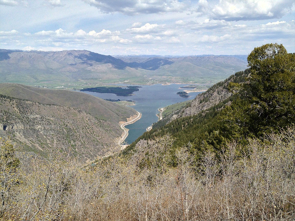
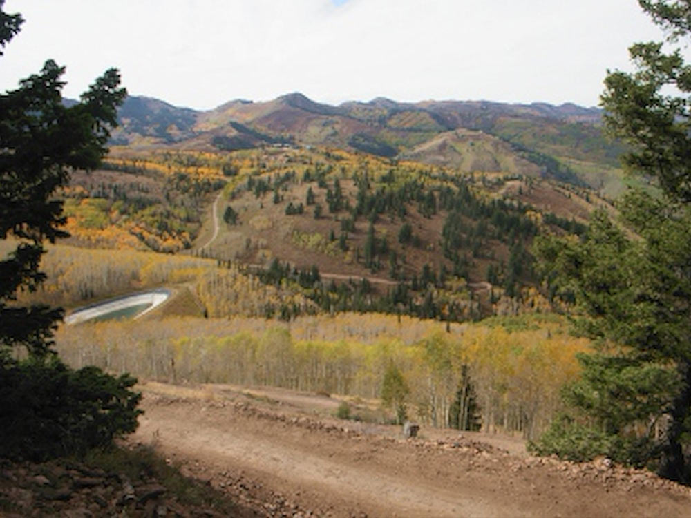
TIDAL WAVE TRAIL
Tidal Wave is a 2.7 mile downhill-only trail at Deer Valley. It runs from the top of the ski lifts on Bald Mountain to Silver Lake Lodge, dropping 1100 vertical feet. Top altitude is 9200 feet. The trail is extensively machined for smooth fast riding punctuated by table jumps and high-speed corners.
Source: http://www.utahmountainbiking.com/trails/tidalwav...
Footnotes
Thanks to all who participated!